In the world of geospatial data, efficient storage and fast data access are critical. FlatGeobuf is an open, high-performance binary format designed to store and transfer large spatial datasets. Unlike traditional formats like Shapefile (SHP), FlatGeobuf offers several key advantages that make it a powerful choice for modern GIS applications. Plus, you can now easily convert your data to FlatGeobuf format using MyGeodata Converter.
Key Benefits of FlatGeobuf
While Shapefile has been a long-standing format in the geospatial world, it has limitations, especially when working with large datasets. Here are some reasons why you should consider FlatGeobuf:
- Supports Large Datasets: Shapefile is limited to 2GB per file, which can be restrictive for large datasets. FlatGeobuf has no such limit, making it ideal for handling extensive spatial data.
- Efficient Data Compression: FlatGeobuf uses efficient compression, reducing file sizes without sacrificing performance. This helps save storage space and ensures faster data transmission.
- Faster Read and Write Operations: Thanks to its binary structure and support for random access, FlatGeobuf allows for faster reading and writing of spatial data. Whether you’re working on desktop GIS or server-side applications, FlatGeobuf enhances performance compared to Shapefile.
- R-Tree Spatial Indexing: FlatGeobuf includes built-in R-tree spatial indexing, enabling faster spatial queries and improved performance when working with large datasets. This feature is not natively supported in the Shapefile format.
- Open Standard and Interoperability: Like Shapefile, FlatGeobuf is an open format, which means it’s free to use and widely supported. However, its modern design offers greater interoperability with today’s GIS tools and platforms.
FlatGeobuf is also supported by the popular geospatial library GDAL, making it accessible to a wide range of applications. However, before converting your data to FlatGeobuf, it’s essential to verify whether your existing software supports this format to ensure seamless integration into your workflows. For more information about FlatGeobuf, visit the official website.
Convert to FlatGeobuf with MyGeoData Converter
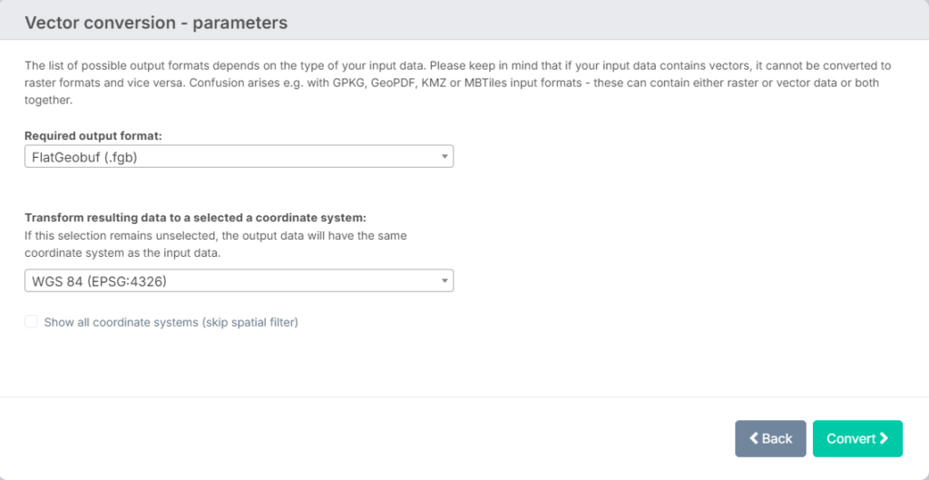
If you’re ready to experience the advantages of FlatGeobuf, it’s now easier than ever. On MyGeodata Converter, you can convert your spatial data from various formats, including Shapefile, directly to FlatGeobuf with just a few clicks. Our platform supports a wide range of formats, ensuring seamless conversions and optimal performance for your geospatial needs.
Simply upload your data, choose FlatGeobuf as the output format, and start benefiting from faster processing and smaller file sizes today.
If you’re ready to take advantage of FlatGeobuf, start using the MyGeodata Converter to transform your spatial data quickly and easily. For a step-by-step guide on how to get started, check out our comprehensive tutorial: Getting Started with MyGeodata Converter.