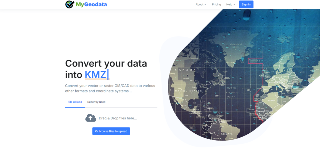
MyGeodata Converter is a powerful online tool for converting spatial data across multiple formats and coordinate systems. Supporting a wide range of formats such as SHP, KML, GeoJSON, DXF, and many more, it is the perfect choice for GIS and CAD professionals, as well as companies and enthusiastic individuals looking for a reliable solution to manage their geospatial data. Our converter simplifies data processing, making spatial data management more efficient. With the latest beta version, you can experience faster performance and a more intuitive user interface. Ready to get started? Seamlessly transform your data and optimize your workflow with MyGeodata Converter.
How MyGeoData Converter works
MyGeodata Converter is a web-based application that works seamlessly in most browsers, but for the best performance, we recommend using Google Chrome. There’s no need to download or install any software – just connect to the internet and start converting your data instantly. You don’t even need an account to access the tool! Enjoy free access with certain limits, such as the amount of data converted or the number of conversions per month.

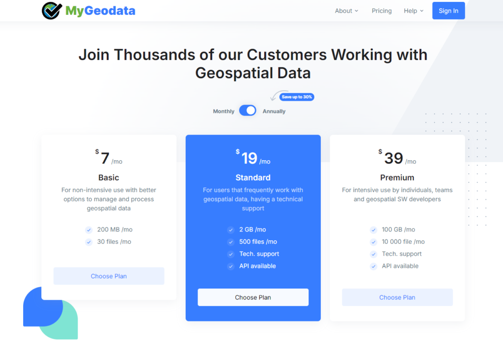
If you exceed the limits for a specific service, such as data conversion or transformation, you can pay per use with one-time payments. However, if you plan to use MyGeodata Converter frequently, it’s better to create an account and choose a subscription plan that fits your needs based on the number of conversions, amount of data, technical support, and API access. You can save up to 30% by choosing an annual plan instead of paying monthly. There’s no long-term commitment, and you can cancel your plan at any time. Check out our subscription plans to find the best option for you.

User Account
Although creating a user account is not mandatory, we recommend registering to access more features. After free registration, you can continue converting data within the same limits as a guest user. This means that even if you reach the guest limit, creating an account will allow you to reset these limits and keep using the service for free (with the same restrictions). No credit card is required to create an account. You can register with your email and password or log in using Google or Facebook.
How to Convert Your Own Data
MyGeodata Converter is a powerful web-based tool for converting and transforming spatial data across various formats and coordinate systems. It supports both vector and raster GIS/CAD data, along with most major geospatial formats. After uploading your data, the system automatically detects the input format and suggests compatible output formats for conversion. Simply follow the step-by-step guide that walks you through the entire process. You can select the desired output format, coordinate system, and additional parameters, then download the results as a compressed ZIP file.
If the service or the conversion results do not meet your expectations, you can request a full refund. We encourage you to share your experience and feedback, so we can better understand your needs and improve our service.
Data security
All data transfers are secured using encrypted SSL protocol to ensure safe data transmission. Uploaded and converted files are temporarily stored in our data center and processed based on user requests. The data is automatically deleted after a set period – no manual action needed. During this time, your files are accessible only to you and our technical support team, if requested.
Technical Support
We offer dedicated technical support to users with the Standard and Premium plans, helping them resolve any issues when using MyGeodata Converter services. However, we greatly value feedback from all users, even those without a plan. You can always reach out to us through the technical support form (Contact us) if you encounter a problem or want to share your suggestions.
Terms of Service
For more details on our policies and the terms of use for MyGeodata Converter, please refer to our Terms of Service. This document outlines important information about using our services, refund policies, and user rights. We encourage you to review these terms to ensure a smooth and transparent experience.


